Eric Clausen has spent a lot of time analyzing topographic maps across the West. His most recent publication looks at the drainage patterns through and surrounding Royal Gorge, Colorado.1 His previous publications cover similar drainage systems across the Laramie Range, Wyoming,2 the prairie region of the Dakotas and Canada,3 and the Yellowstone River, Montana,4 to name a few.
In each of these studies, he identified readily observable “diverging and converging valleys, barbed tributaries, and abrupt drainage route direction changes seen on USGS topographic maps.”1 He concluded that “large and prolonged south-oriented floods flowing through a rising Royal Gorge area appear to explain most if not all” of these features.1
The problem is that the uplift at Royal Gorge, like most of the Rocky Mountains, formed in the early to mid-Cenozoic, well before the time of the Late Cenozoic Ice Age (Pleistocene), leaving him with no source of water for his prolonged floods.
In an earlier paper, Clausen noted this was a problem. He wrote,
Topographic map evidence presented here makes a strong case that immense volumes of east-directed water flowing from the Laramie Basin to the great Plains intensely eroded Laramie Range areas the Laramie River and its tributaries now drain and also eroded the “downstream” Goshen Hole escarpment-surrounded basin. However, based on commonly accepted geologic histories no recognizable water source exists.2
Furthermore, Clausen found similar evidence of flooding that had occurred in the mid-Cenozoic across the Great Plains and other regions throughout the West.3,4 He kept finding that these so-called “anomalous” drainage systems and erosional surfaces existed much earlier than conventionally thought. The Ice Age wasn’t supposed to have occurred until well after the Rocky Mountains had formed. If not from ice meltwater, then what could have caused these drainage patterns?
Clausen had to develop a new paradigm to explain what he saw. But instead of accepting the reality of a global Flood, he suggested an earlier ice age occurred in the mid-Cenozoic, coinciding with the rise of the Rocky Mountains.5 He argued that the melting of this earlier ice sheet provided the water to erode the anomalous drainage patterns, and even to deposit the Oligocene, Miocene, and Pliocene sediments across the West.5
Clausen explained,
For that reason, new paradigm demonstration papers (such as this paper) do not use the accepted paradigm’s [conventional geology] geologic time scale or absolute age dates. New paradigm [his interpretation] geologic and glacial histories are determined by the use of relative age dating techniques which make use of topographic map drainage system evidence to determine valley formation sequences.1
In other words, Clausen has to toss out conventional geologic time and even absolute dates to explain what he sees! He concluded, “Many absolute age dates, especially radiometric dates, like fossil interpretations, may be paradigm influenced and may or may not be interpreted the same way from a different paradigm’s perspective.”5
Creationist Flood geologists agree. Absolute dates are unreliable and based on unverifiable assumptions. However, we also accept that there is strong geological evidence of only one Ice Age during the immediate post-Flood (Late Cenozoic, or Pleistocene). This Ice Age could not have carved the drainage patterns from meltwater that Clausen is talking about because the drainage patterns were already in existence prior to the development of the ice sheets. Furthermore, we do not see any geologic evidence for an earlier ice age in the mid-Cenozoic as Clausen has suggested.
So, where did the water come from to carve these so-called “anomalous” drainage patterns across the West and through major uplifts like Royal Gorge? The best solution that explains the most data is the global Flood. There is no need to suggest an earlier ice age for a source of water. The receding phase of the Flood is sufficient.
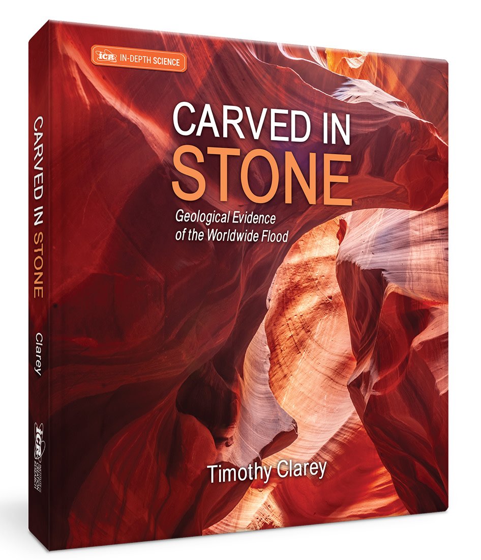
ICR’s interpretation is that the Tejas megasequence rocks (which encompasses much of the Cenozoic) were deposited during the receding phase.6 It was during this megasequence that about 80 % of the world’s mountains also appeared. In addition, the receding phase caused massive erosion as the floodwaters continued to drain off the continents. It wasn’t until after the water had completely drained back to the oceans that the so-called “Pleistocene Ice Age” began due to the unique conditions created by the global Flood.7
This interpretation better explains the anomalous mid-Cenozoic drainage patterns Clausen observes. There is no need for an earlier ice age in the mid-Cenozoic to provide meltwater. Absolute dates are undoubtedly wrong, but the relative timing of these events is not wrong as Clausen has suggested. The timing of rock deformation and sediment deposition really does support the early-mid-Cenozoic uplift of the Rockies and a solitary Late Cenozoic Ice Age during the Pleistocene.
Evidence for the receding phase of the Flood is plain to see in the drainage patterns carved across the American West. Some secular geologists see this evidence but do not comprehend its proper cause. But for those who accept the truth of a global Flood, it is clearly seen. The evidence for the Flood is truly “carved in stone.”
References
1. Clausen, E. 2021. How a new paradigm explains topographic map drainage system and erosional landform evidence in the Fremont County Royal Gorge area, Colorado, USA. Journal of Geography and Geology. 13 (2): 32-46.
2. Clausen, E. 2018. Topographic map analysis of Laramie Range bedrock-walled canyon complex and the Goshen Hole escarpment-surrounded basin, Albany and Platte Counties, southeast Wyoming, USA. Open Journal of Geology. 8: 33-55.
3. Clausen, E. 2019. How a fundamentally different and new glacial history paradigm explains North America glaciated prairie region erosional escarpments and drainage patterns. Earth Science Research. 8 (2): 23-34.
4. Clausen, E. 2021. How two different Cenozoic geologic and glacial history paradigms explain the southcentral Montana Musselshell-Yellowstone River drainage divide origin, USA. Earth Science Research. 10 (2): 42-53.
5. Clausen, E. 2020. Analyzing anomalous topographic map drainage system and landform evidence as a glacial history paradigm problem: a literature review. Open Journal of Geology. 10: 1072-1090.
6. Clarey, T. 2020. Carved in Stone: Geological Evidence of the Worldwide Flood. Dallas, TX: Institute for Creation Research, 312-353.
7. Ibid, 354-377.
*Dr. Clarey is Research Scientist at the Institute for Creation Research and earned his Ph.D. in geology from Western Michigan University.