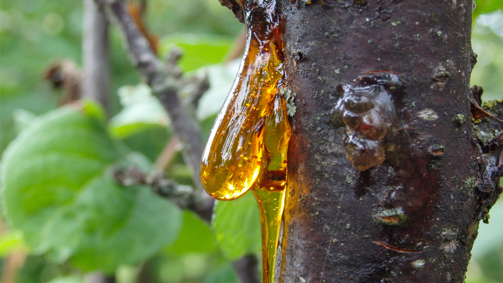
Flood Tsunamis Transported Trees and Amber
A recent study published in Scientific Reports found strange globs of tree resin (amber) mixed within claimed ancient (Cretaceous) deep-water sediments on Hokkaido Island in northern Japan.1 This is the first reported instance of amber in what’s interpreted as a deep ocean setting.
Sedimentary Rock Does Form Fast!
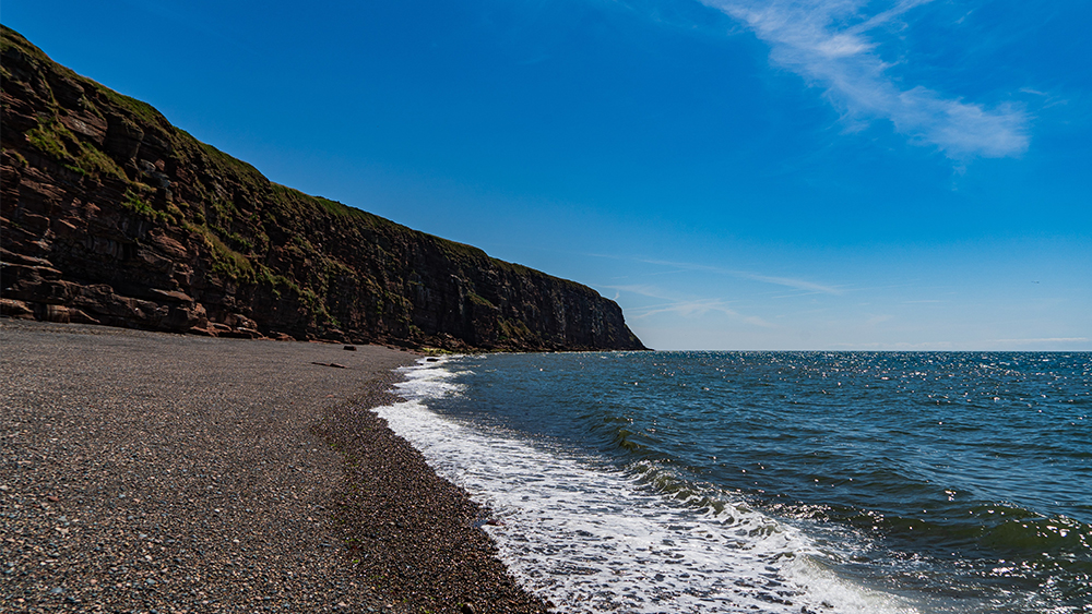
A recent study published in Geology found that sedimentary rock can form in as little as 35 years.1,2 Before this, conventional geologists thought these types of rocks took vast amounts of time to erode, consolidate, and lithify. What they discovered along the coast of Scotland caused them to quickly change their minds.

Mysterious Erosion Confirms High Flood Boundary
Two separate research reports arrived at a similar conclusion.1,2 Both found an episode of mysterious erosion had occurred near the end of the Tejas Megasequence. This event likely correlates to the final phase of water draining off the continents during the Flood. It also confirms a late Cenozoic end of the Flood boundary, called the N-Q (Neogene-Quaternary).3,4
Dinosaur National Monument: Fossil Graveyard of the Flood
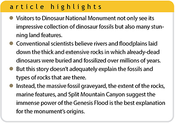 Straddling the border of Utah and Colorado, Dinosaur National Monument (DNM) is one of the richest exposures of dinosaur fossils in the world.1 But not just dinosaurs are on display. DNM also contains equally breathtaking rock exposures and sheer canyons.