Strata Data Axes Asteroid Dinosaur Demise
In 1980, a theory was proposed that an asteroid or comet impact was primarily responsible for the mass dinosaur extinctions that were observed in the fossil record. But while the impact tale has become widely accepted in popular culture, critical questions remain unanswered.

The 'Mystery' of Octopus Fossils
Around 150 years ago, Charles Darwin asserted that “no organism wholly soft can be preserved.”1 He concluded this based on the assumption that fossilization required long periods of time.

Stunning New Evidence of a Higher Ancient Sea Level
According to the record in Genesis, there was a time when the entire surface of the earth was inundated with water.

Transcontinental Sedimentation and the Flood
Sand and other sediments can be transported by rivers and floods, but what kind of forces—and how much water—would it take to move thousands of cubic miles of sand from one side of a continent to the other?

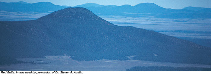
Red Butte: Remnant of the Flood
Sixteen miles from Grand Canyon's south rim, a cone-shaped butte rises like a lone sentinel 1,000 feet above the Coconino Plateau floor. Thousands of tourists rush past on Arizona Highway 64 without giving it another thought, yet this humble little hill testifies to a remarkable past.


