Sedimentary Rock Does Form Fast!
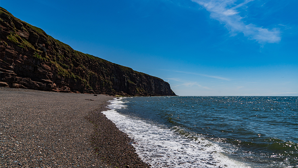
A recent study published in Geology found that sedimentary rock can form in as little as 35 years.1,2 Before this, conventional geologists thought these types of rocks took vast amounts of time to erode, consolidate, and lithify. What they discovered along the coast of Scotland caused them to quickly change their minds.

Mysterious Erosion Confirms High Flood Boundary
Two separate research reports arrived at a similar conclusion.1,2 Both found an episode of mysterious erosion had occurred near the end of the Tejas Megasequence. This event likely correlates to the final phase of water draining off the continents during the Flood. It also confirms a late Cenozoic end of the Flood boundary, called the N-Q (Neogene-Quaternary).3,4

Ichthyosaur Graveyard Explained by the Flood
Ichthyosaurs are marine reptiles that occur globally in the same rock layers as dinosaurs. Specimens with babies support the idea that they gave live birth, unlike most of today’s reptiles.


